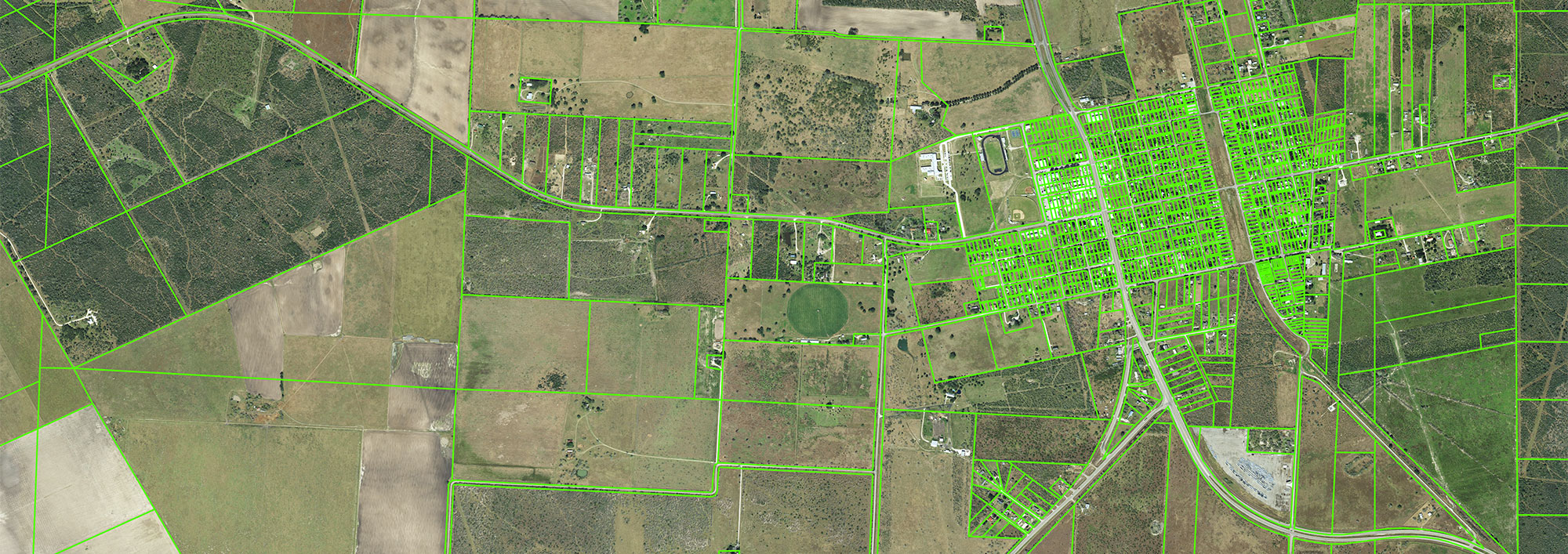
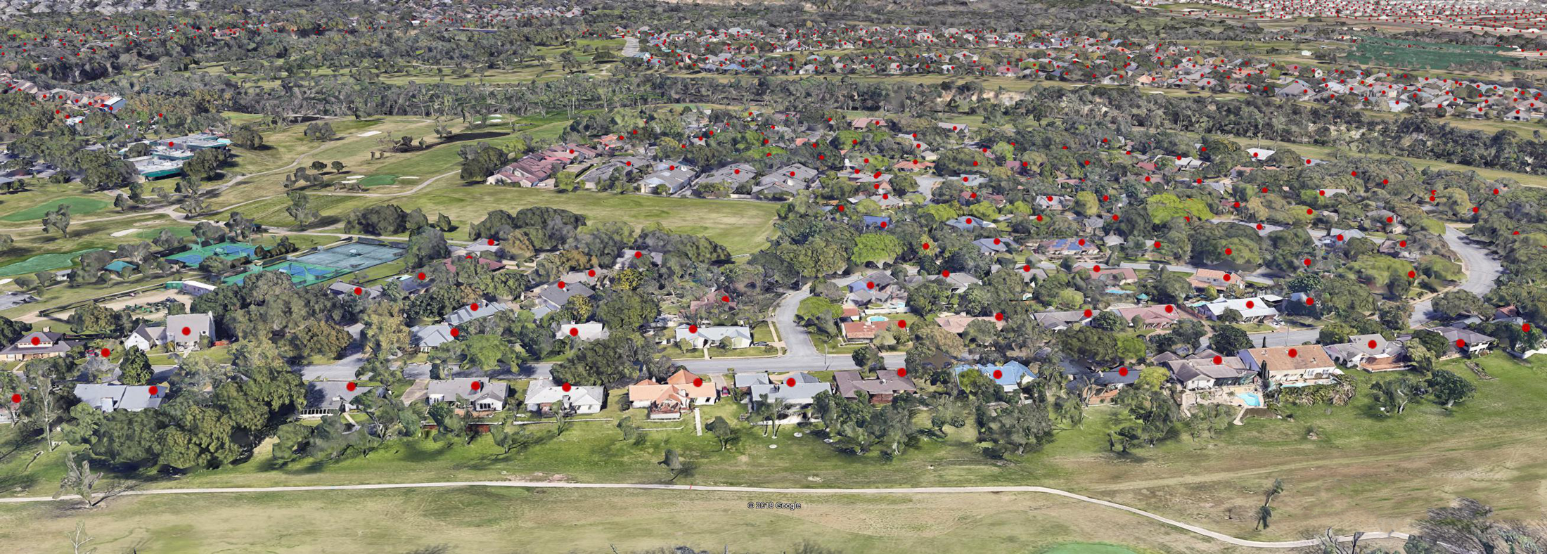
StratMap was originally established in 1997 by Senate Bill 1 to develop consistent statewide digital data layers. Since then, its primary goal has been to acquire and improve digital geographic data for statewide mapping applications.
StratMap also maintains comprehensive data standard specifications to ensure consistent, high-quality data products across the State. StratMap personnel at TxGIO work with multiple agencies on cost-share initiatives in order to provide the State of Texas with best-value data products.
How does this work?
- The StratMap team communicates regularly with State, Federal, regional and local government entities to discuss mapping needs.
- New projects are formed by identifying type of data required, location, specification, budget and timeline for delivery.
- Data acquisition, production and independent quality assurance and quality control (QA/QC) are awarded to private geospatial contractors through the Texas Strategic Mapping Contracts.
- After the final data deliverables are accepted, they are placed in the public domain for use by local, regional and federal government, academia, private industry and the public.


